Sharing data for the benefit of safe and secure seas: a complex, painful, necessary process?
Discussions on the fringes of the 3rd SHARE.IT Conference on Interoperability held in Bangkok from 20 to 24 November 2024 highlighted the complexity and diversity of participants’ perceptions on the evolution of regional maritime security and threats from the sea in the Indo-Pacific and beyond. Given the particular geography of the region and its structure […]
[Video] Skills achieved during Maritime Data Analysis training
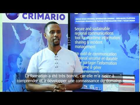
This video illustrates the skills achieved during the maritime data processing training cycle (MDP) delivered in Mombasa, Kenya by EU CRIMARIO in 2018-2019. Olivier Bézier, CRIMARIO training and capacity building component manager, introduces the whole training cycle and details the maritime data analysis course. Tony Kibwana, acting Head of Port Security, Kenya Port Authority, provides […]
Training in maritime analysis contributes to a better surveillance at sea

CRIMARIO organised the final session of the training cycle dedicated to maritime data analysis for 14 participants of Kenya, Madagascar and Seychelles (13-23 May, Mombasa, Kenya). The EU CRIMARIO project has designed a complete training programme on maritime data analysis for the specialized staff of civilian and military agencies involved in the action of State […]
Seychelles & Mauritius: certified analysts in the maritime domain

Mauritius and Seychelles are achieving the full programme in maritime data analysis. The previous sessions were delivered in 2018 (May, June and October 2018); this fourth and final session was attended by the 14 participants who successfully completed the test following the previous sessions. They learned the alert warning process, maritime intelligence and maritime strategic […]
Information Fusion Centre – Indian Ocean Region (IFC-IOR) is launched
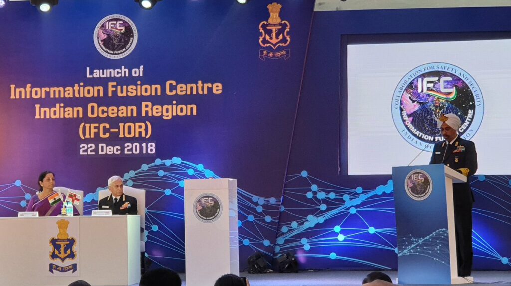
Mrs. Nirmala Sitharaman, the Honourable Raksha Mantri, launched the Information Fusion Centre – Indian Ocean Region (IFC-IOR) on 22 December 2018, at Information Management and Analysis Centre (IMAC) Gurugram. Apart from representation by officials from the MoD, MEA, MHA, Ministry of Shipping and the NSCS, Ambassadors and Resident Defence Attaches of partner countries also participated […]
How to analyse the maritime domain?

The development of the blue economy requires the control of crimes and incidents at sea. As a response, the EU CRIMARIO project advocates regional cooperation and interagency coordination, which are illustrated today in Mombasa by the two-weeks training session dedicated to maritime data analysis for 15 participants of Kenya, Madagascar and Seychelles (15-26 October, Sarova […]
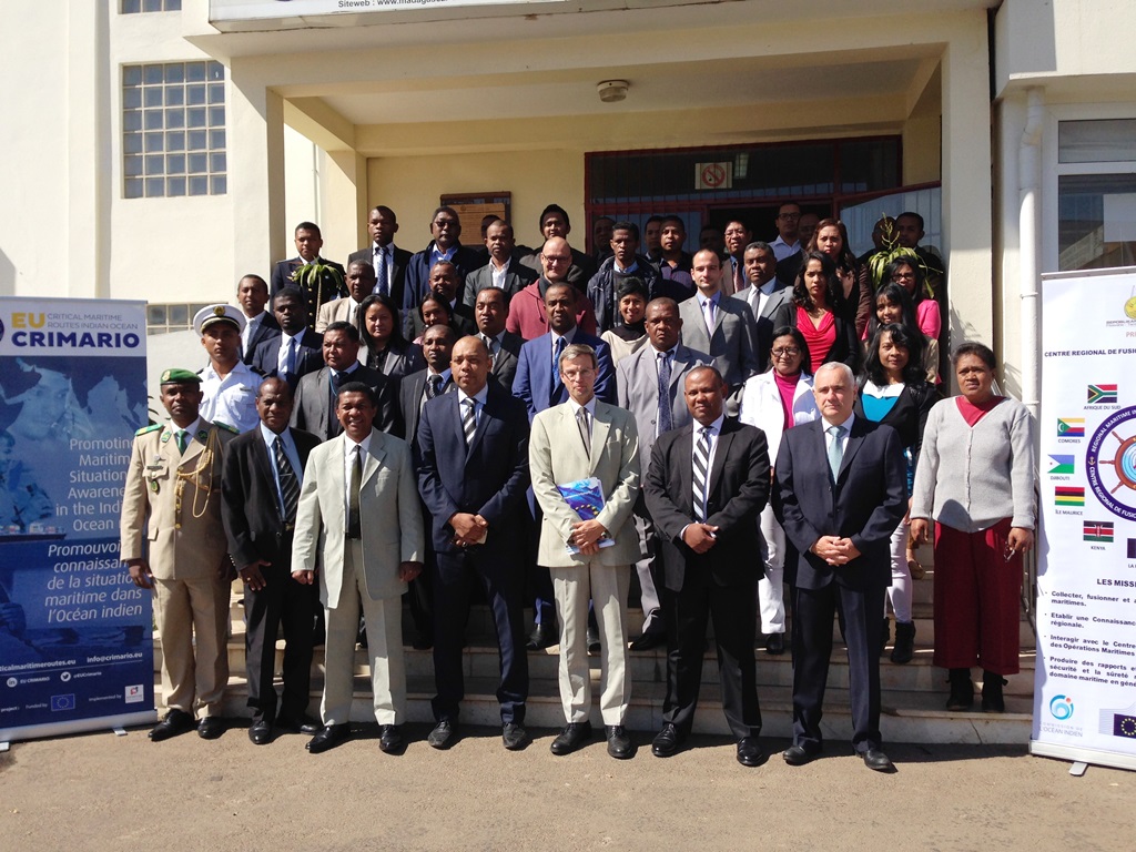
Stronger maritime cooperation in Madagascar & Comoros

On 27 October 2017, in Antanarivo (Madagascar), the Prime Minister of Madagascar chaired the closing ceremony of the CRIMARIO last training session and the signing ceremony of maritime information sharing agreements between the MIFC (Maritime Fusion Centre of Madagascar) and 9 Malagasy administrations. The ceremony was attended by the EU Ambassador in Madagascar and ambassadors […]
A new session within the training in data analysis

The EU CRIMARIO project, in collaboration with RMIFC, is continuing its training programme in visualization and analysis of maritime data. From 11 to 22 September 2017, in Antananarivo, 31 specialists of Comoros and Madagascar, belonging to administrations and agencies active in sea surveillance were trained to the methodology of analysis, after having their maritime knowledge […]
The course on maritime domain analysis starts in Antananarivo
CRIMARIO starts a new training on maritime data analysis. The first course is delivered in Antananarivo (Madagascar) from 24 July to 4 August 2017 for 28 participants from Comoros and Madagascar. The future analysts will deepen their knowledge of maritime domain and acquire methods of analysis for rapidly identify, understand and anticipate events incompatible with […]
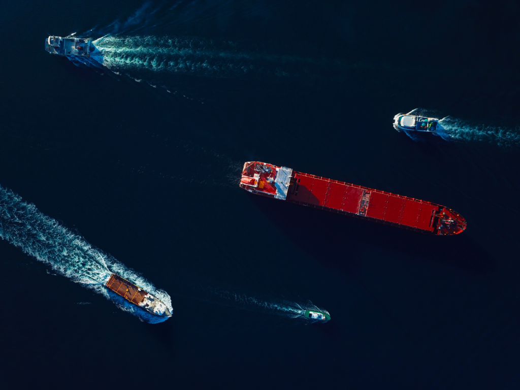
Solution for global geospatial analytics

Automatic Identification Systems (AIS) are used by ships and vessel-tracking services to provide real-time awareness of locations for safe navigation and routing and historical analysis, similar to what air-traffic control systems do for aircraft. The data services company exactEarth uses a constellation of satellites in space to collect more than 7 million AIS vessel-position reports per day. That […]